Underground utility mapping and surveying services in Toowoomba
Providing advanced utility mapping and surveying solutions across South East Queensland
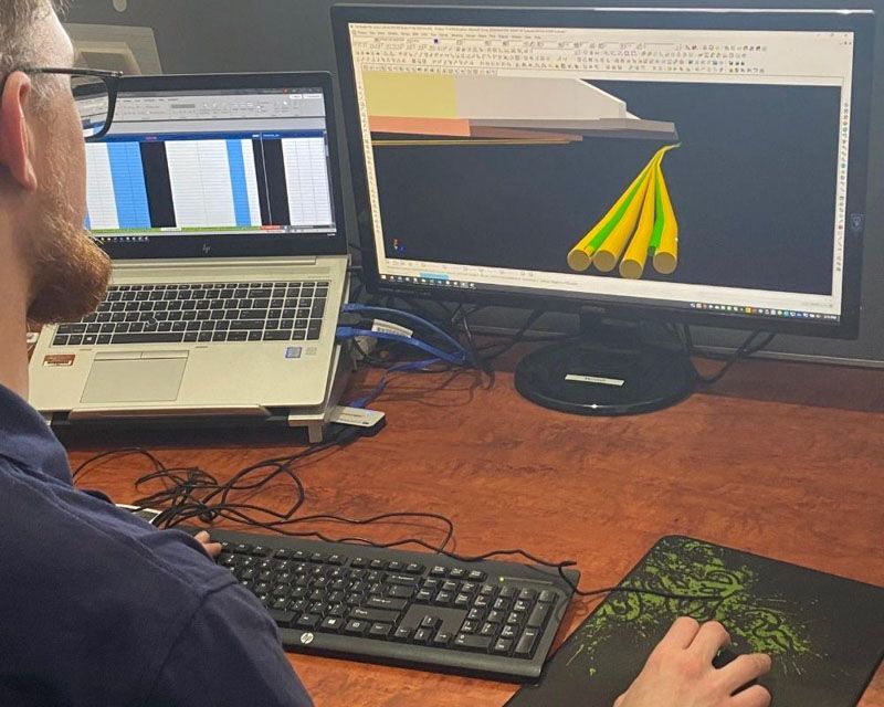
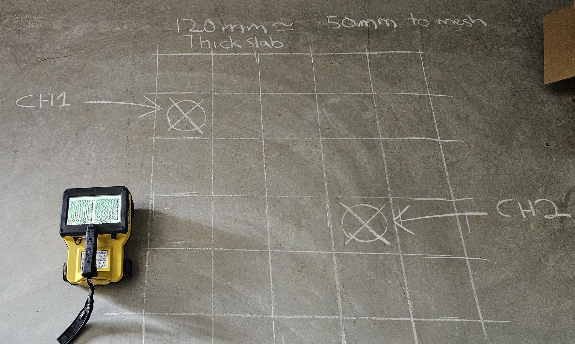
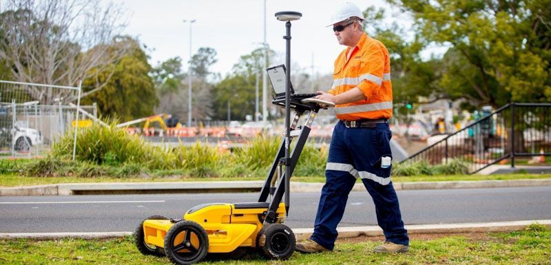
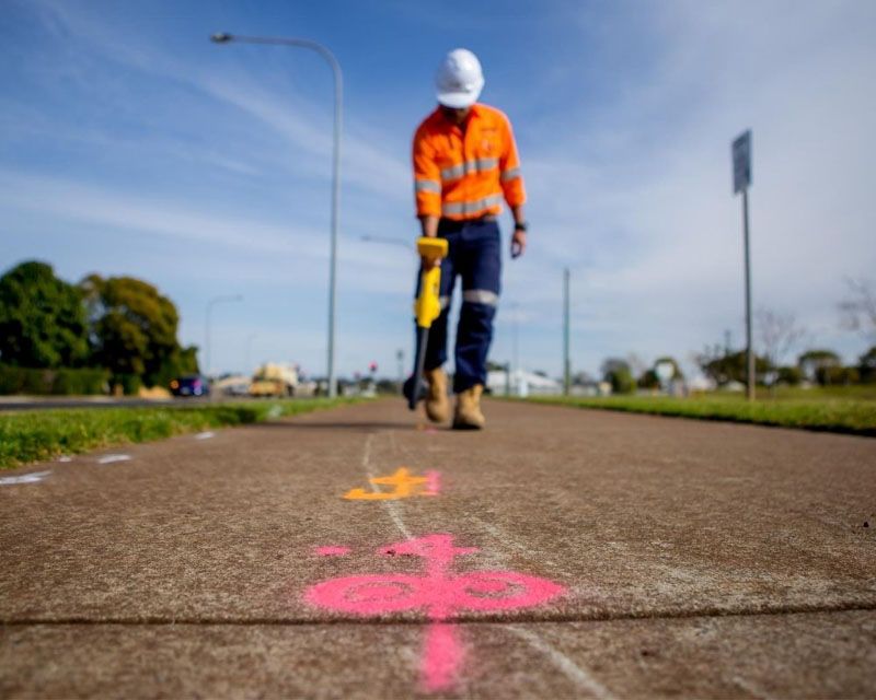
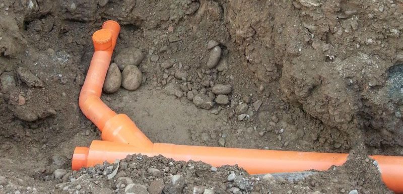
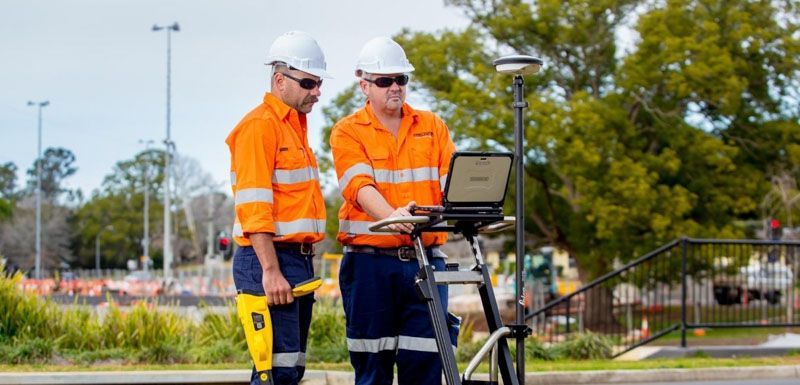
Equipped with the latest state-of-the-art technology, Precision Service Locating specialises in utility mapping and surveying. We identify and record all known and unknown utilities, ensuring comprehensive data collection. From civil and design projects to infrastructure and environmental sectors, we provide tailored solutions that meet the highest industry standards. Our high-accuracy survey methods guarantee precise positioning and depth recording of underground assets, contributing to the successful planning and implementation of your projects. Our services include:
24-hour utility mapping and surveying
Contact Precision Service Locating today to secure professional underground utility mapping and surveying services. Call us for a free quote tailored to your project.
Our additional underground services
Areas we service
Precision Service Locating provides underground utility mapping services in both our Toowoomba and Brisbane locations and across South East Queensland, including major areas such as: