Underground locating services in Toowoomba and across South East Queensland
Our key services
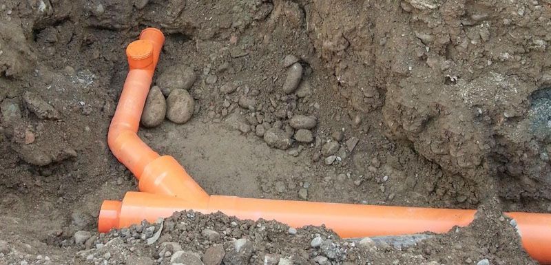
Our complete range of services has been designed to ensure accurate asset identification, enable streamlined project workflows, and minimise risks so you can achieve successful project outcomes. You can rely on Precision Service Locating to carry out any of the following services:
The underground service locating specialists
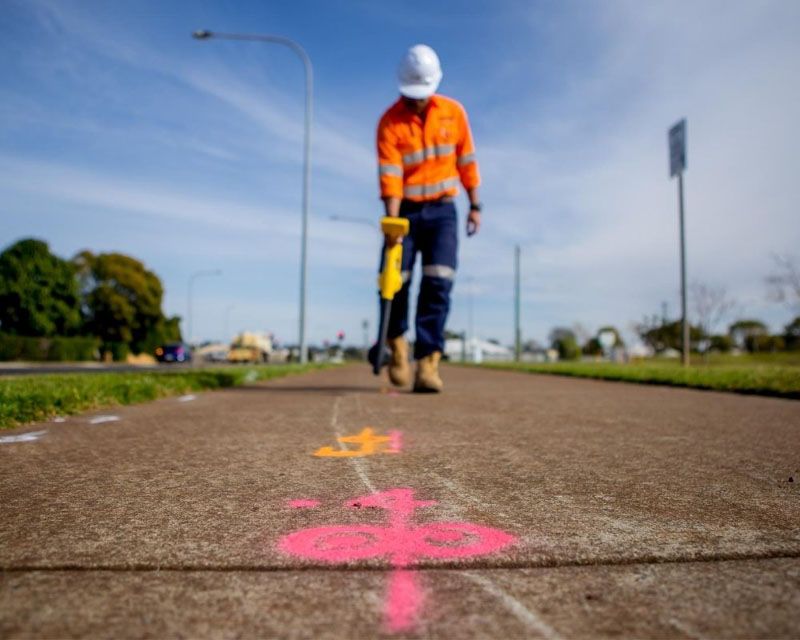
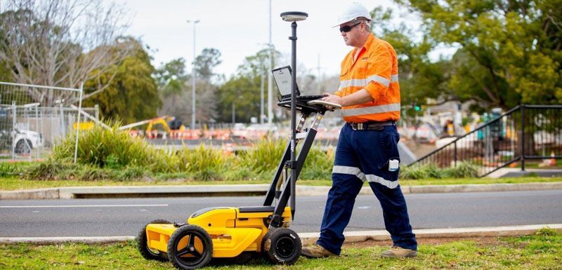
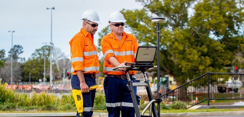
As the leading underground service locator in South East Queensland, Precision Service Locating specialises in delivering professional solutions to meet the individual needs of clients and projects across the region.
Contact the experts for 24-hour servicing
Don’t dig blindly—get a clear picture of underground utilities with professional locating services from our leading team of experts. Contact us for a quote today.
Areas we service
Precision Service Locating operates out of both Toowoomba and Brisbane, providing our complete range of underground locating services to clients and projects across South East Queensland, including major areas such as: