Underground utility mapping and surveying services in Toowoomba
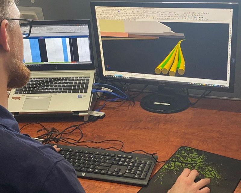
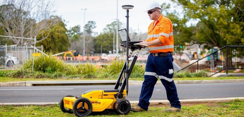
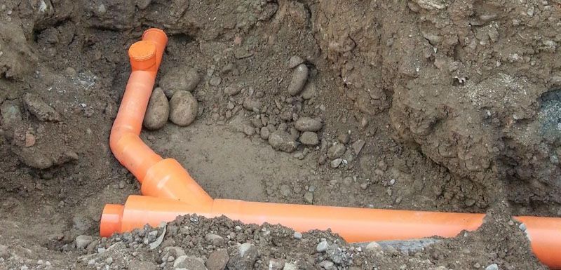
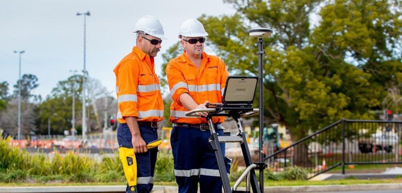
Precision Service Locating provides comprehensive underground utility mapping and surveying services in Toowoomba and across South East Queensland, utilising advanced RTK GNSS and UAV (Drone) systems. Our technology ensures precise recording of underground utilities, facilitating seamless project planning and execution. We deliver accurate surface and subsurface contour and detail (topographic) surveys with all data processed able to be converted into the required formats for drafting or modelling, providing a reliable foundation for future works.
Providing advanced utility mapping and surveying solutions across South East Queensland
Equipped with the latest state-of-the-art technology, Precision Service Locating specialises in utility mapping and surveying. We identify and record all known and unknown utilities, ensuring comprehensive data collection. From civil and design projects to infrastructure and environmental sectors, we provide tailored solutions that meet the highest industry standards. Our high-accuracy survey methods guarantee precise positioning and depth recording of underground assets, contributing to the successful planning and implementation of your projects. Our services include:
Our services include:
- Accurate utility mapping of known and unknown utilities
- Providing detailed underground utility locating surveys
- Providing feature and level surveys
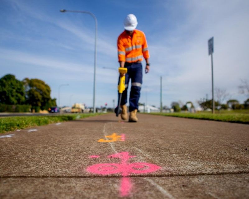
- Creating precise utility maps for project planning and facilities management sectors
- Supporting construction projects and excavation projects with precise mapping services
- Minimising the risk of damage to underground storage tanks and infrastructure
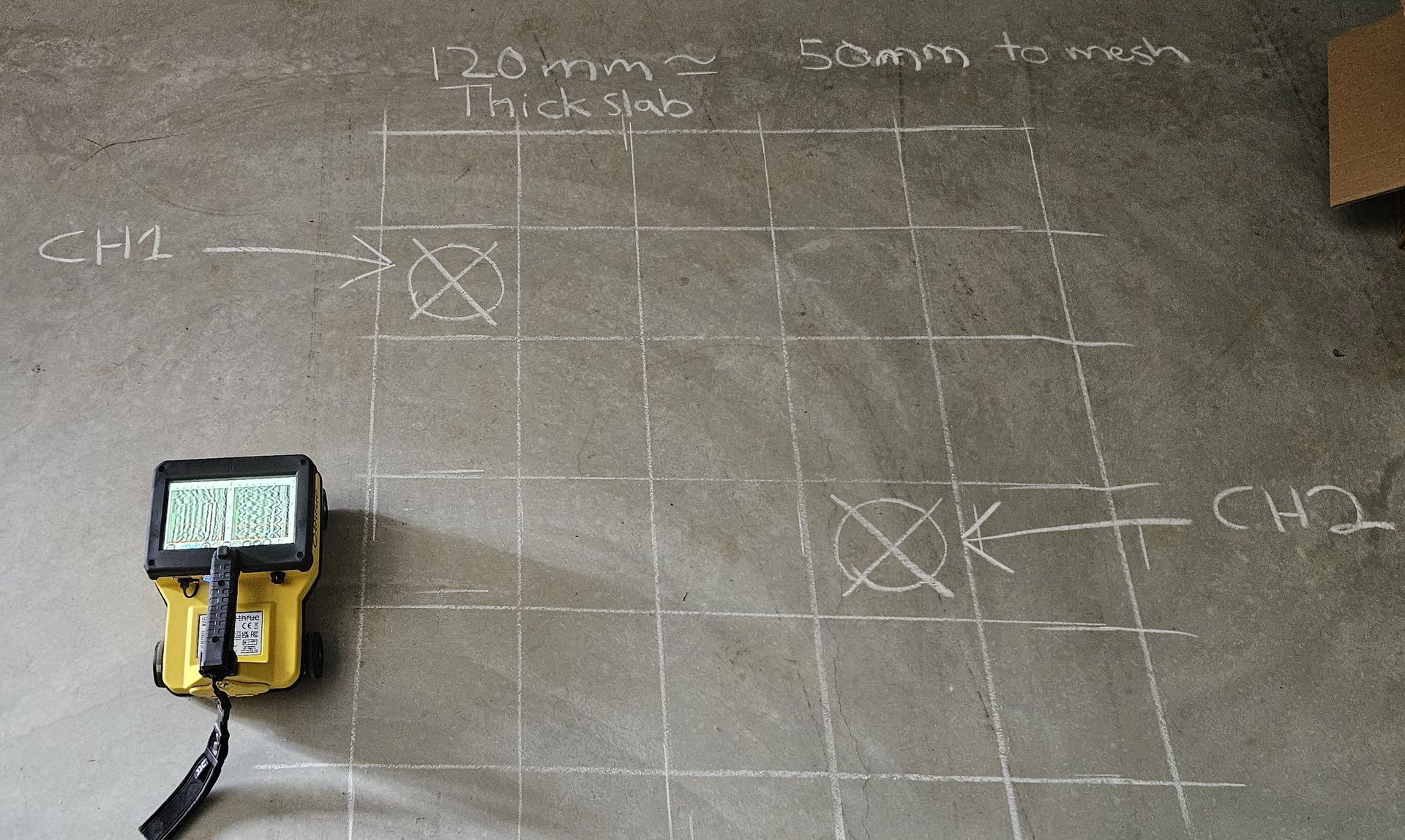
- Delivering high-quality surveying services for all types of projects using cutting-edge ground penetrating radar technology
24-hour utility mapping and surveying
Contact Precision Service Locating today to secure professional underground utility mapping and surveying services. Call us for a free quote tailored to your project.
or email us at:
Areas we service
Precision Service Locating provides underground utility mapping services in both our Toowoomba and Brisbane locations and across South East Queensland, including major areas such as:
- Beaudesert
- Dalby
- Gatton
- Goondiwindi
- Ipswich
- Lockyer Valley
- Southern Downs
- Sunshine Coast
We will get back to you as soon as possible.
Please try again later.
Contact us
For more information about our underground utility mapping and surveying services, contact Precision Service Locating today. Our experienced team is ready to provide professional assistance and a free quote tailored to your project requirements. Give us a call or complete our online contact form to get started.
or email us at:

