CAD and BIM modelling services in Toowoomba
Our computer-aided design and BIM models for building projects
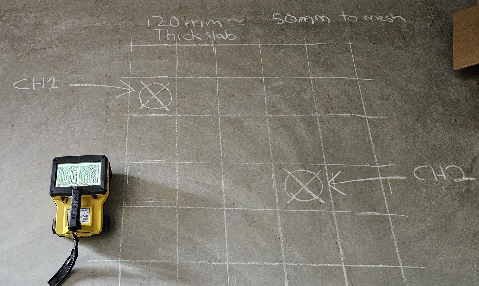
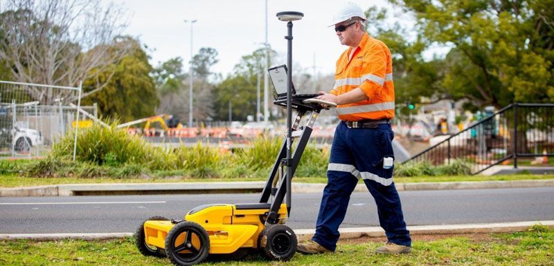
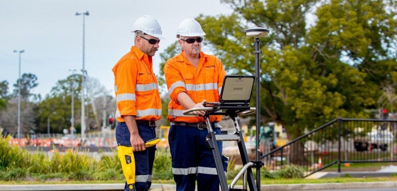
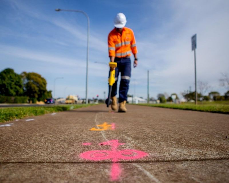
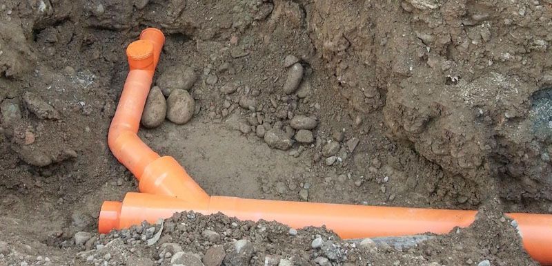
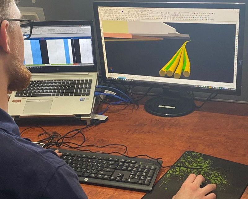
At Precision Service Locating, we provide comprehensive CAD and BIM modelling services designed to support the diverse needs of our clients. Our team integrates existing survey data with captured subsurface information to create comprehensive 3D models. These models are invaluable for architects, engineers, and construction professionals who require detailed and accurate project plans. Our commitment to using the latest technology ensures that every model we produce is of the highest quality, facilitating seamless project implementation and management.
24-hour surveying and modelling
Contact Precision Service Locating today for expert CAD and BIM 3D modelling services and get a free quote tailored to your project needs.
Our additional services
Areas we service
Precision Service Locating offers our complete range of CAD and BIM modelling services in both our Toowoomba and Brisbane locations and across South East Queensland, including major areas such as: